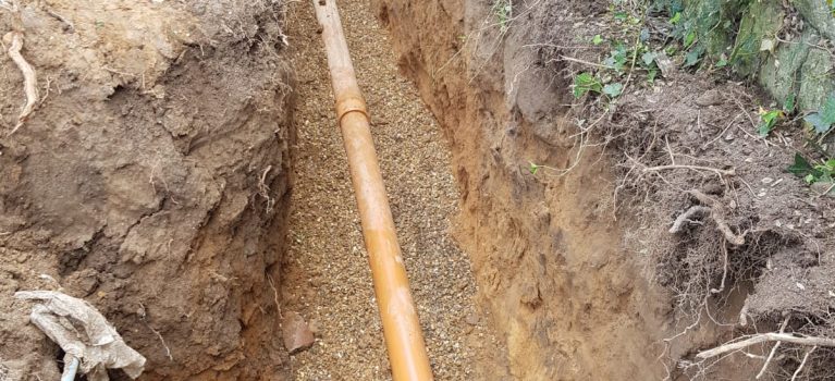
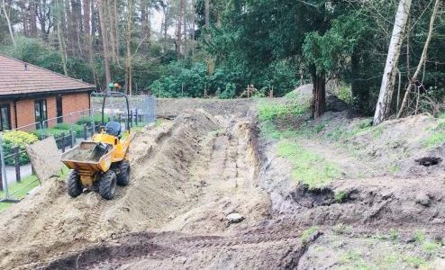
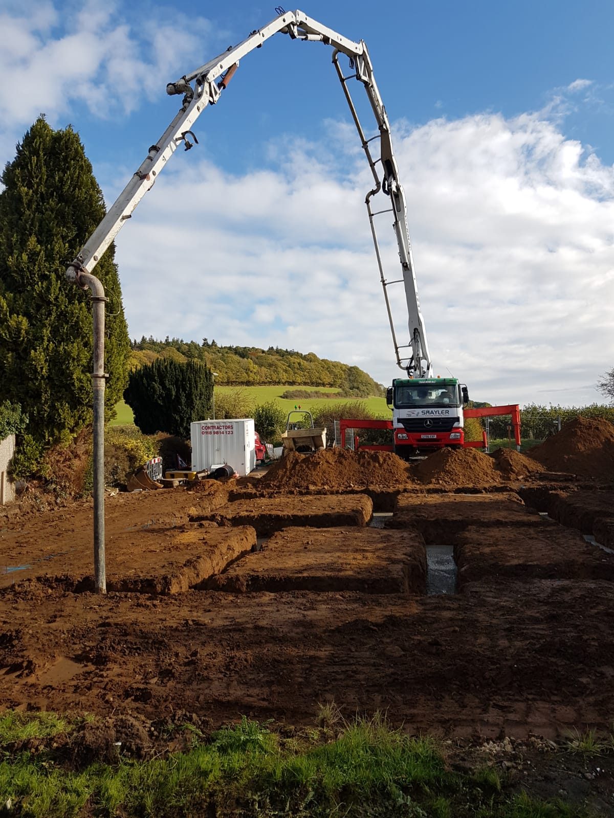
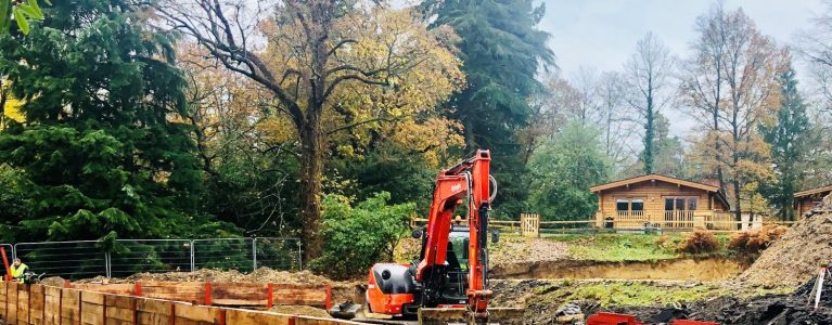
A Topographical Land Survey is the first step in the process for any site development .
Datum Plus Ltd land surveyors will provide you with accurate and precise surveys to meet your individual needs. Our Topographical surveys can be either co-ordinated to a local grid using our one man total stations or to a UK National Grid using the Leica Robotic GPS system. All drawings will be plotted using AutoCAD design software. This data can then be processed into various digital formats such as DWG, DXF and PDF. Our drawings will provide you with the information for architects and engineers alike to design, plan and construct.
Surveying services:
Volumetric Surveys & Analysis
Area Surveys
Measured building Surveys
Level Grid Surveys
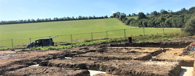
GPS Land Survey in Hindhead by Datum Plus Ltd
Obtaining the correct data at an early stage of a design project can save considerable time and reduce costs. If this is a service you require or are after advice please contact us today.