At Datum Plus Ltd our experienced Land Surveyors are able to assist you with all aspects of boundary related enquiries.
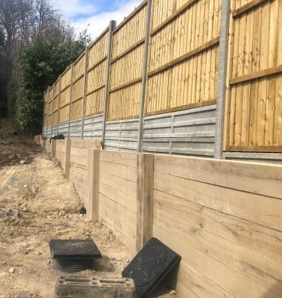
Finding an exact position of a boundary can be very difficult. Registered land and property has a Title Plan. Whilst being as accurate as possible the precise positions of boundaries are not shown. Boundaries can be fixed more precisely by sending the Land Registry the exact boundary lines as marked on detailed measured maps.
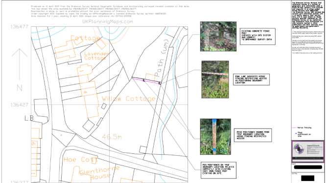
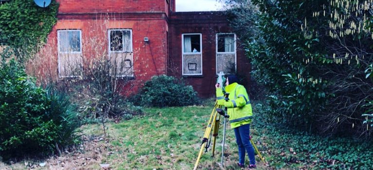
Our Land Surveyors will undertake a detailed survey determining boundary positions and will provide third parties with a clear basis to work from. This data is collected and processed onto AutoCAD design software which then can be exported into many different formats. Any relevant land features and all aspects of your property will be shown on clear plans adapted to meet each individual sites requirements. Property’s deeds, land registry documents and any other relevant information relating to the property’s boundaries will be analysed, this is to produce an accurate boundary report.
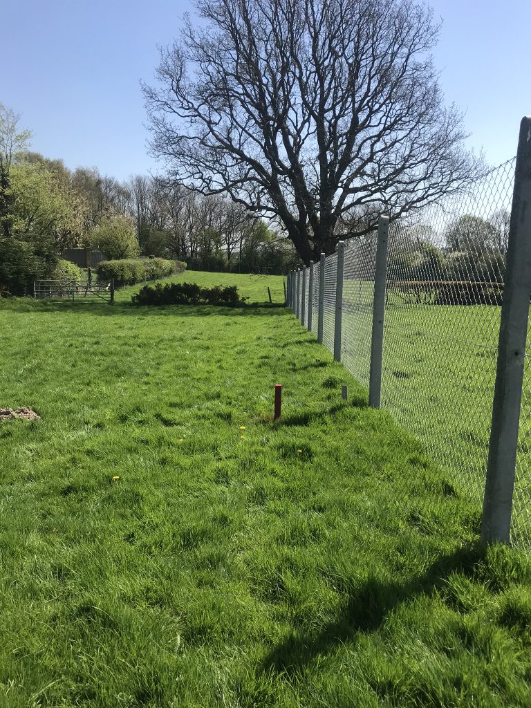
We strongly advise our clients to read the following articles: Public Guide 3 : A general guide to land Registry boundary information. Public Guide 19 : More specific about the title deed and its limitations. Our Land Surveyors offer a demarcation service after the boundary positions are determined to show actual location on site.
Boundary Services Include:
Site Visits and full boundary surveys
Independent expert advice as to boundary positioning
Land measurement and map drawings
Overlaying of old plans with accurate survey
Reconcile conveyance dimensions with accurate survey
Observation and detailed deductive reasoning
Collaboration or elimination of claimed boundary facts
Boundary Reports.
Free No Obligation Quote
If this is a service you require or are after advice please contact us today.

